Toggle navigation
Site Home
LinkedIn
Instagram
Facebook
Twitter
Contact Us
I WANT TO
FIND RESOURCES
Contact
GOVERNMENT
DELAWARE COUNTY HOME
OFFICES & AGENCIES
CITIES, VILLAGES & TOWNSHIPS
Residents
BUSINESS
VISITORS
Search Site
View Menu
About
History & Structure
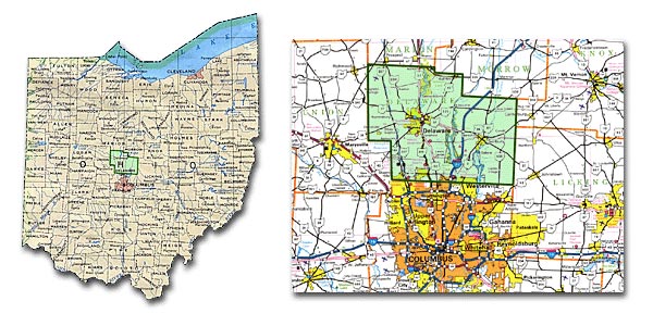
Location
Calendar
Members
Staff
County Planning Directors Association of Ohio
Current Events
Meeting Agendas/Minutes
Current Events
Monthly Mailing
Parks and Trails
County Plan
How Do I...
Resources
Application Forms
Zoning Resolutions & Land Use Plans
Zoning Web Map
Zoning Officers
Annual/Monthly Reports
Planning-Related Publications
Planning and County Links
Data
County Demographics
County Development
Active Subdivisions
Census 2020
Community Profiles
Map Center
Media
We are aware of a current scam regarding invoices that appear to be sent from this office. We NEVER send invoices for payment. Please call with any questions.