DCRPC online maps are offered in seven pre-set views.
Click the map image below to open a new window.
- New layers can be changed by clicking on “Content” or “Layers” depending on the view.
- Active subdivision and zoning files include a pdf of the development plan which may be accessed by clicking on “more info” on the pop-up menu.
- Note: Some data is available based on view and can be accessed by zooming in or out.
Development Pattern
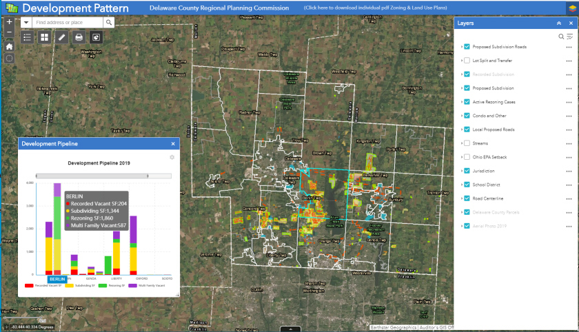
Proposed Subdivisions and Roads
Township Rezoning Cases
Proposed Comprehensive Plan Roads
Development Pipeline
Lot Splits/Transfers optional
Condo and Other Development optional
Streams and OEPA setbacks optional
Recorded Subdivisions (Auditor)
Township/Municipal Boundaries (Auditor)
School Districts (Auditor)
Most recent Aerial (Auditor)
Township and Village Zoning
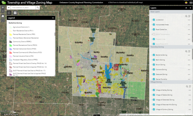
Township Zoning (on when opened)
Municipal Zoning (selected, optional under Content)
Municipal/Township Boundaries (Auditor)
Parcels (Auditor)
Most recent Aerial (Auditor)
Parks and Trails
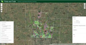
Local Plans – Proposed Bike/Ped Routes
Regional and Local Parks
Sidewalks, Wider Paths, Unpaved and other
County Trail Committee Corridors
On-Road/Cycling Group Routes
Township/Municipal Boundaries (Auditor)
2021 Aerial (Auditor)
Historical Features
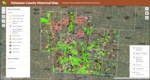
This map includes information from various sources.
Staff continues to work to identify duplications and current status of many of these features.
Economic-Related Features
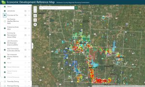
This map includes information from various sources.
Staff continues to collect additional features.
US 23 / I-71 Draft Conceptual Alternatives Study (2/26/2026)
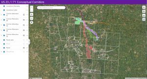
This map includes data derived from the ODOT Phase 1 Study, including a table of potentially affected parcels and Phase 1 Corridor Alternatives. Only parcels in Delaware County have been mapped. More information is available at the following link:
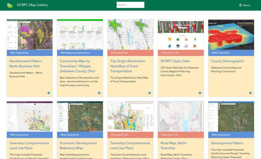
Gallery of recent map projects
 |